These photos were shared by photographers on Wikimedia Commons under open licenses. Each one is credited.
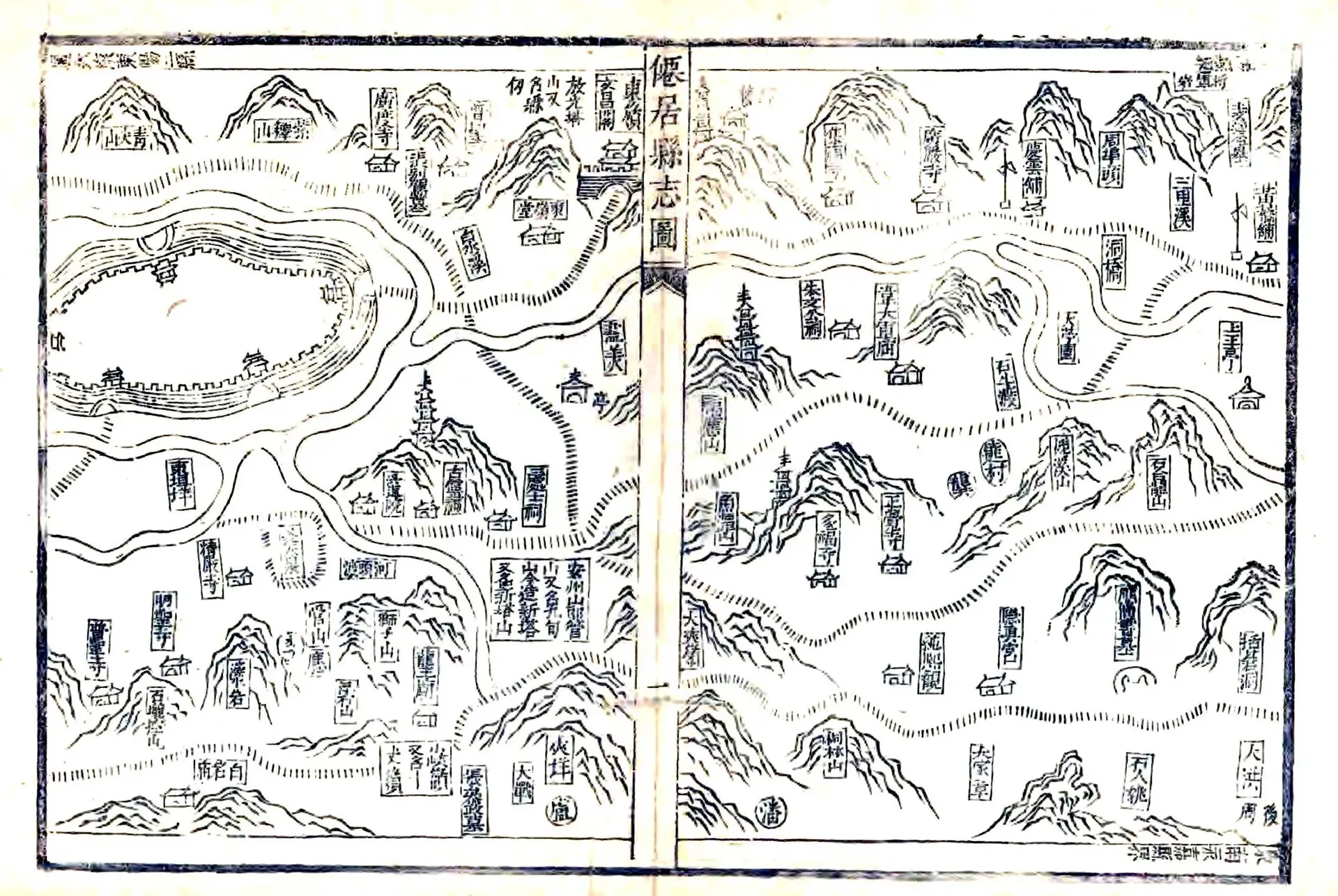
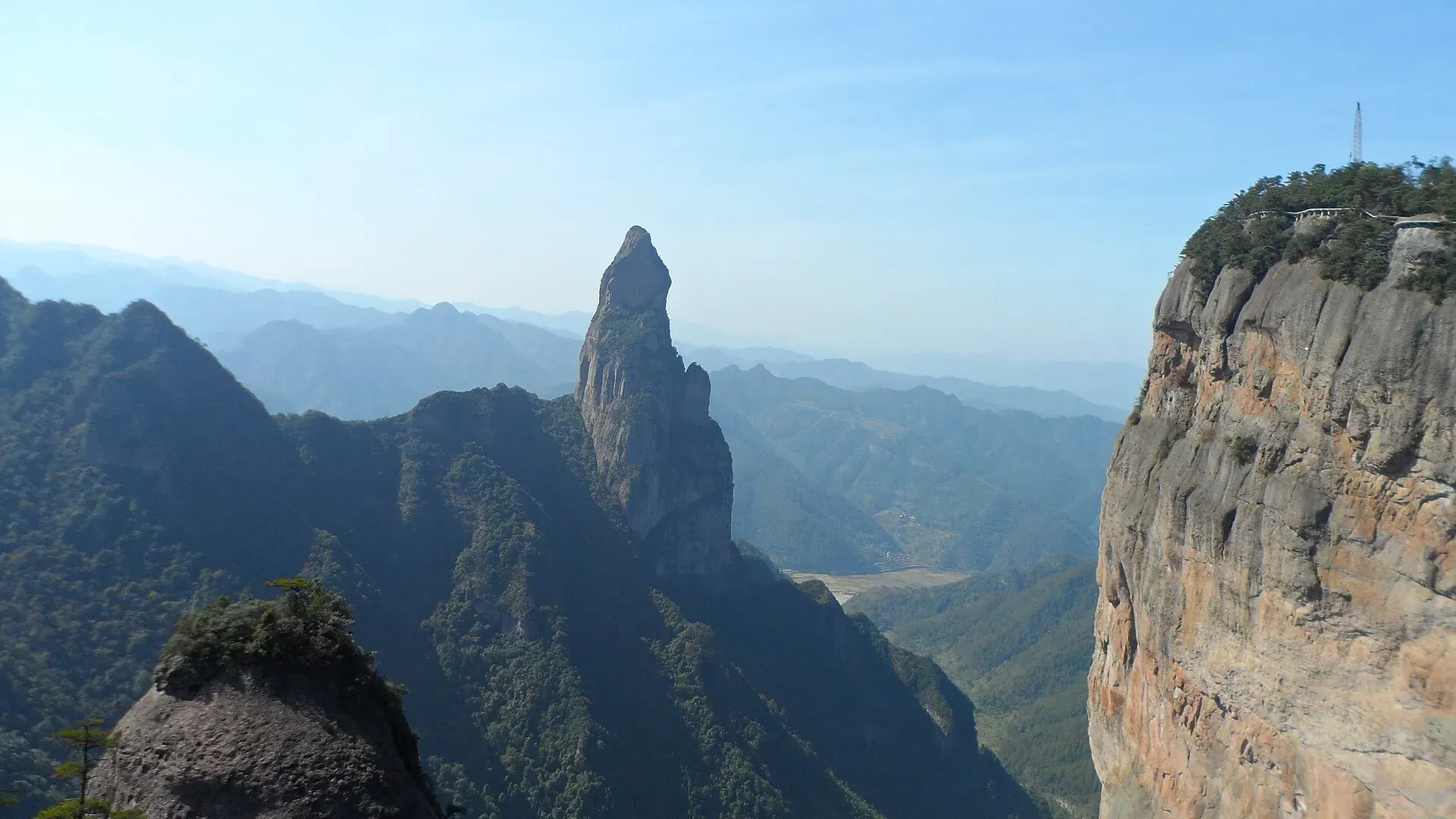
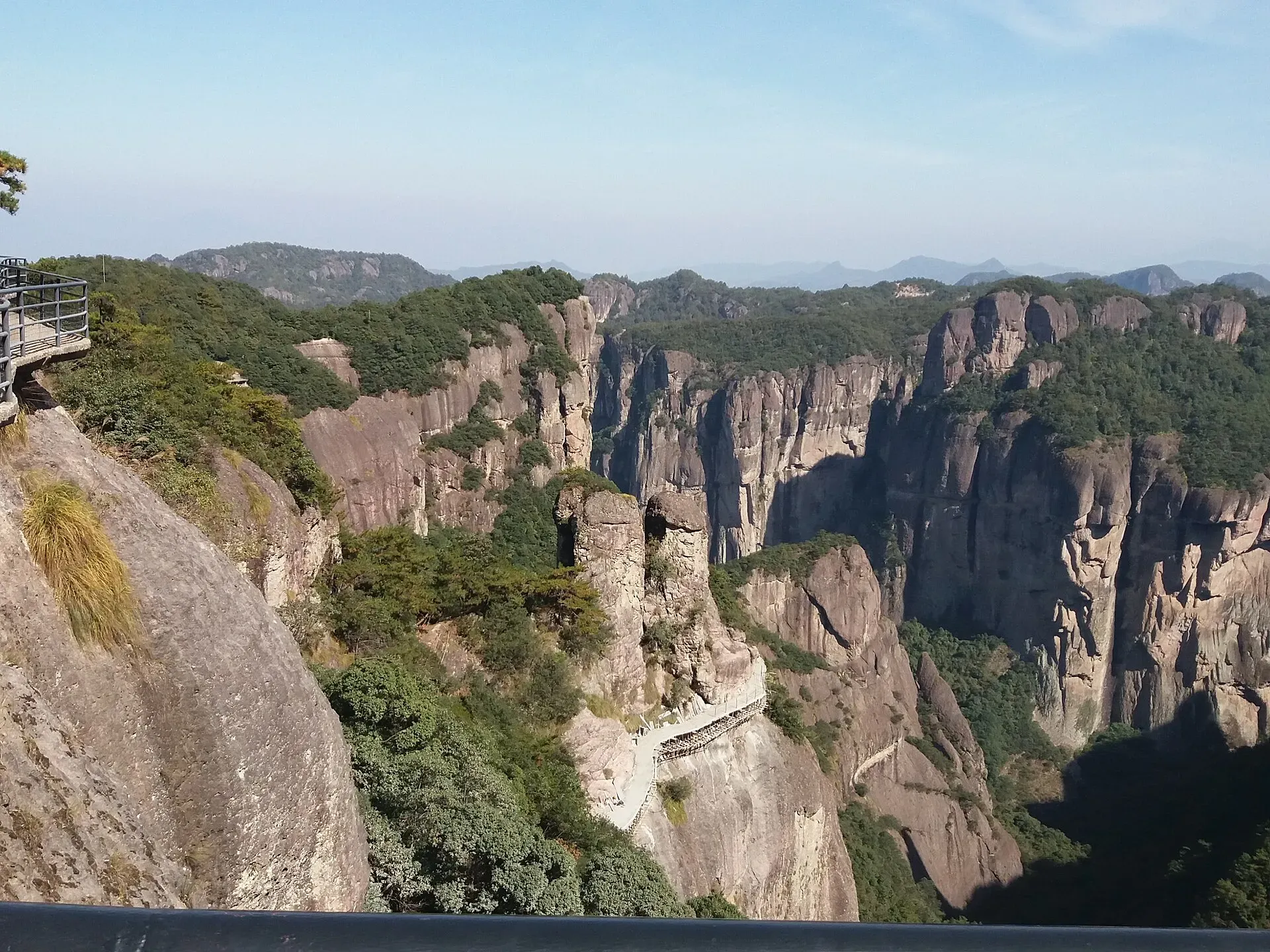
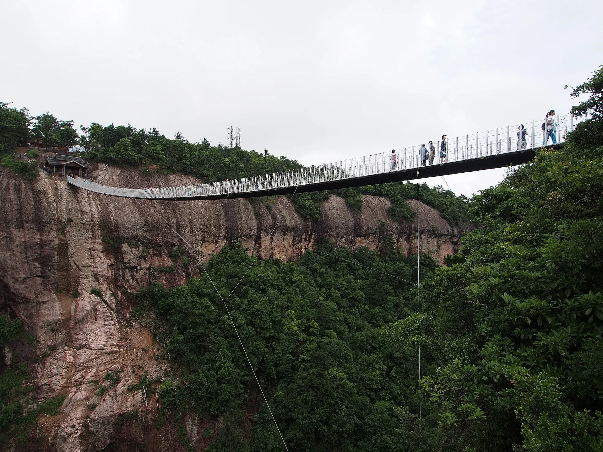
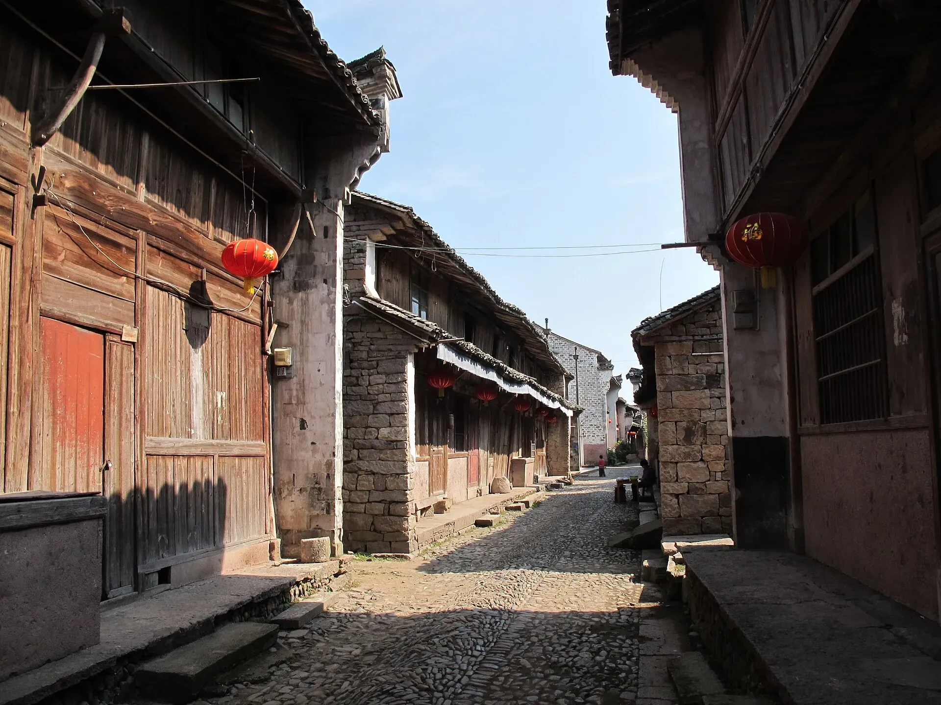
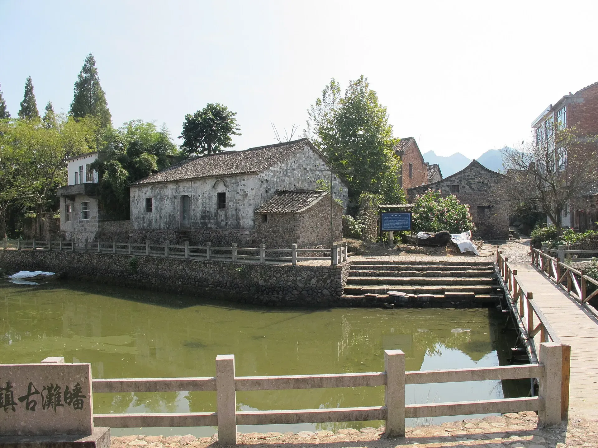
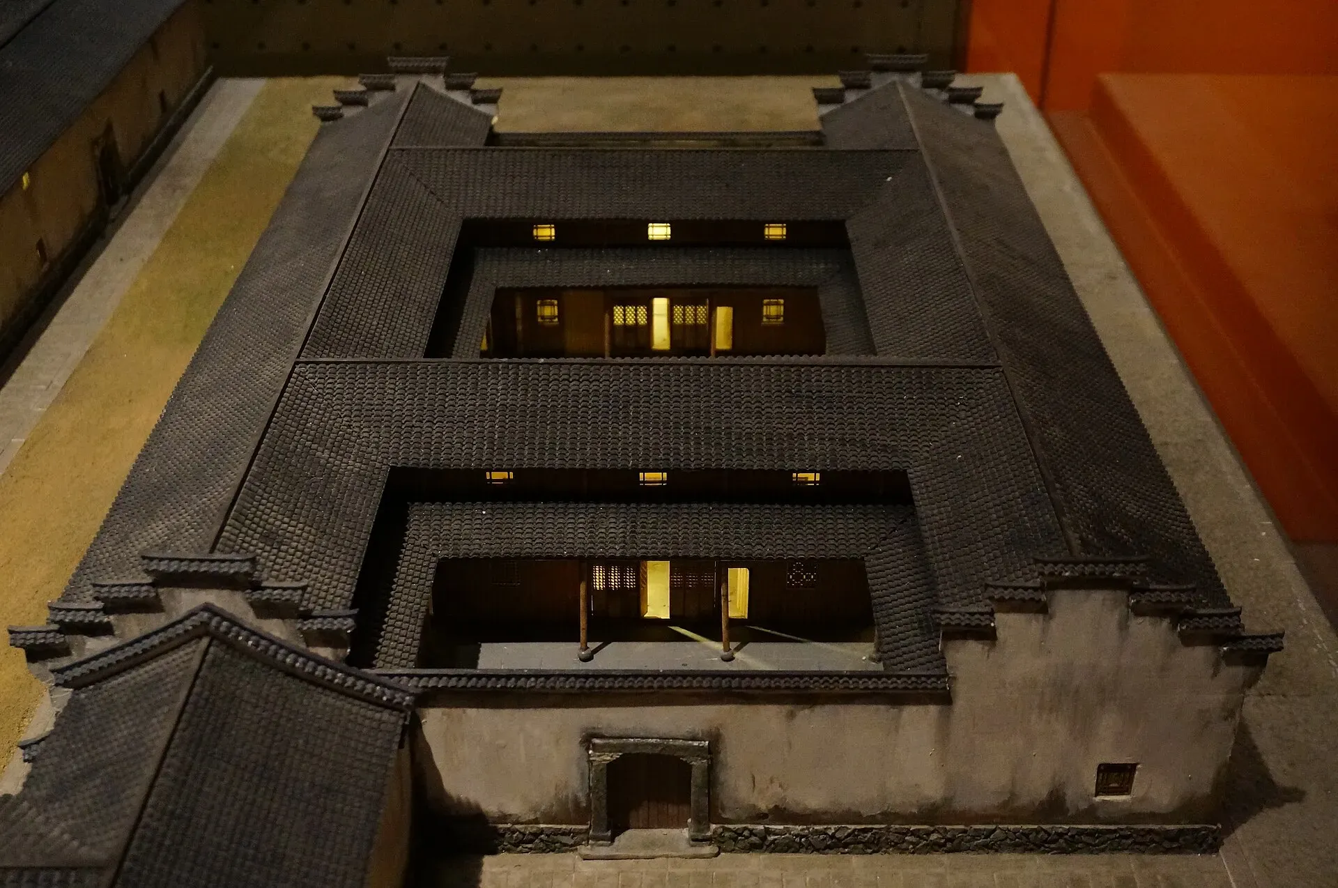
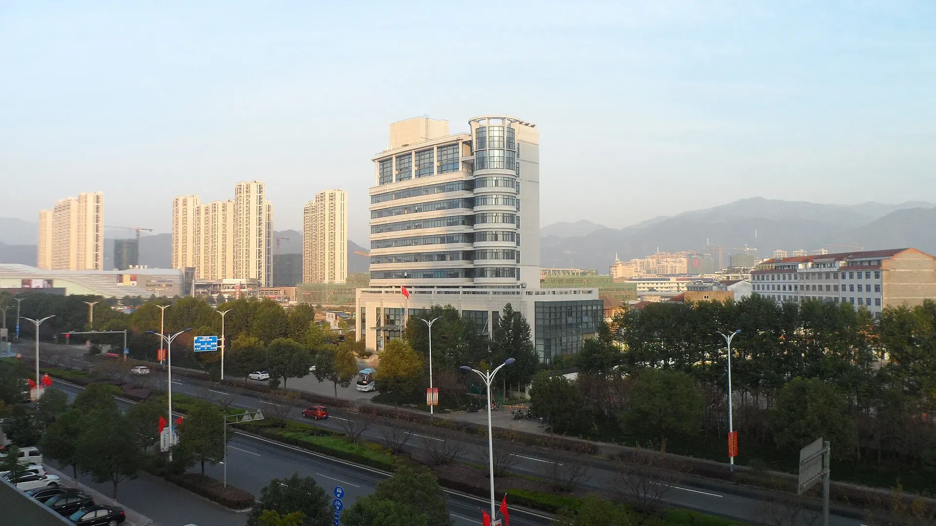
The county map from the Xianju gazetteer of 1680, the nineteenth year of the Kangxi reign. The walled county town is on the left, with the river curving past it and hills on every side.Photo: 郑录勋 修、张明焜 等纂 ·《仙居县志》 · Public domain · Wikimedia CommonsPeaks and cliffs at Shenxianju in 2019. The free-standing spire in the middle is Guanyin Peak.Photo: 钉钉 · CC BY-SA 4.0 · Wikimedia CommonsCliffs and a gorge at Shenxianju in 2019, with walkways built along the rock faces.Photo: 钉钉 · CC BY-SA 4.0 · Wikimedia CommonsThe Nantian (South Heaven) Bridge, a suspension footbridge across a gorge at Shenxianju, in 2014. The Ruyi Bridge is a different bridge, opened in 2020.Photo: rheins · CC BY 3.0 · Wikimedia CommonsPotan’s old street in 2011: a cobbled lane lined with old shops and their wooden fronts.Photo: 江上清风1961 · CC BY 3.0 · Wikimedia CommonsThe old landing stage at Potan in 2011.Photo: 江上清风1961 · CC BY 3.0 · Wikimedia CommonsA model of the Fengshuqiao house at Potan, in the Taizhou Museum, 2017.Photo: 猫猫的日记本 · CC BY-SA 4.0 · Wikimedia CommonsXianju’s county town in 2019.Photo: 钉钉 · CC BY-SA 4.0 · Wikimedia Commons